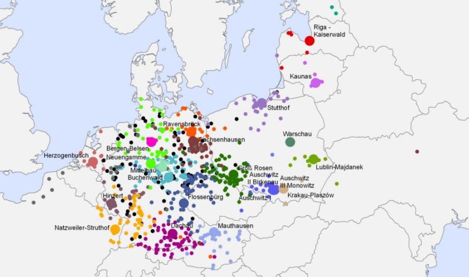
Map of SS-designated concentration camps and subcamps, 1933–1945. Each large dot represents the main camp with the smaller dots referencing subcamps.
Map of SS-designated concentration camps and subcamps, 1933–1945. Each large dot represents the main camp with the smaller dots referencing subcamps.